Medieval maps were not intended to be geographically accurate. To modern eyes, they can look superficially primitive and inaccurate. However, they were never meant to be used as navigational charts. Rather, Medieval maps were schematic and meant to illustrate different principles. They were designed to help explain the theological position of man in the natural and supernatural world. Most Medieval people did not travel and the sphere of their world was restricted to their immediate location. So, although they were not the peak of cartographic excellence, Medieval maps weren’t meant to be…
They were drawn on vellum or parchment (animal skin) and were generally rectangular. The outer side was left thick and rough, thus serving to protect the chart from temperature variations, humidity, and salinity. Medieval mapmaking was dominated by the church and maps were often drawn with Jerusalem (the most holy place) at the center. Maps often contained myths, religious dogma and interpretations of Scripture. Maps dated 400-1450 AD were not orientated with North at the top, but rather East (where Paradise was thought to lie).
This is a PDF image file (.pdf). It is an INSTANT digital download of a set of Miniature Medieval Maps.
There are 15 maps on the front page and an aged parchment background on the second page. The printable sheet size is A4. The maps are in correct 1:12 scale and the largest map measures 34mm(h) x 86mm(w).
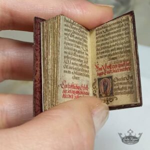
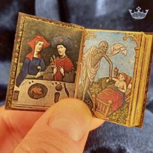
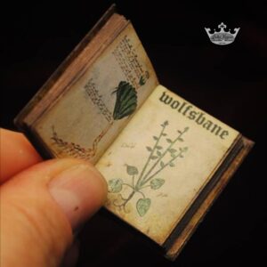
The miniature maps of this DIY printable are colourful and double-sided, and are suitably aged to create an authentic, ancient look. They can be rolled up or framed as wall hangings and paintings. They are perfect for 1:12 scale mini castles, apothecaries, dioramas and every dollhouse library!
For best results, this printable should be printed on standard printer paper (75/80gsm), size A4 (not 8.5″ x 11″) – https://amzn.to/3j5A2e9 . Please see further details under product ‘Description’.
For a free DIY video tutorial showing the step-by-step process for these printables, please see my YouTube channel https://youtu.be/b8n0zFVGZK0
Enjoy making your unique set of miniature Medieval maps!